Log in
All resources
Create a design
8 Free Artworks of 17th Century Maps Of Lorraine
bibliothèque nationale de france
gerard valck
maps by pieter schenk (i)
atlantis magni tomus tertius (biblioteca comunale di trento)
maps by willem and johannes blaeu
maps made in the 17th century
gerard valck
17th-century maps of france
maps with cartouches
bibliothèque municipale de reims, rès. g 152
maps of moyenvic
palatinatus rheni (merian)
baroque
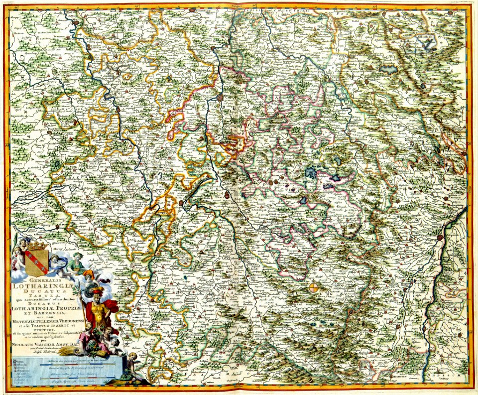
17th-century maps of lorraine
old maps of pays messin
maps by willem and johannes blaeu
17th-century maps of lorraine
maps by willem and johannes blaeu
17th-century maps of lorraine
17th-century maps of lorraine
bussemacher (surname)
1 - 8 of 8
/ 1

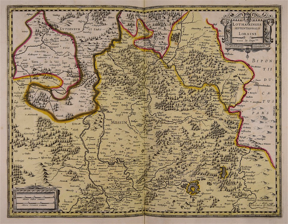


![Lotharingia ducatus, vulgo Lorraine / [Blaeu], 1631](https://cdn.creazilla.com/illustrations/10000348612/lotharingia-ducatus-vulgo-lorraine-blaeu-1631-md.jpg)

